What the weather record establishes
A report describes an event at the recorded location and time, using its stated source and magnitude. County and forecast-zone records can cover an area much broader than the city.
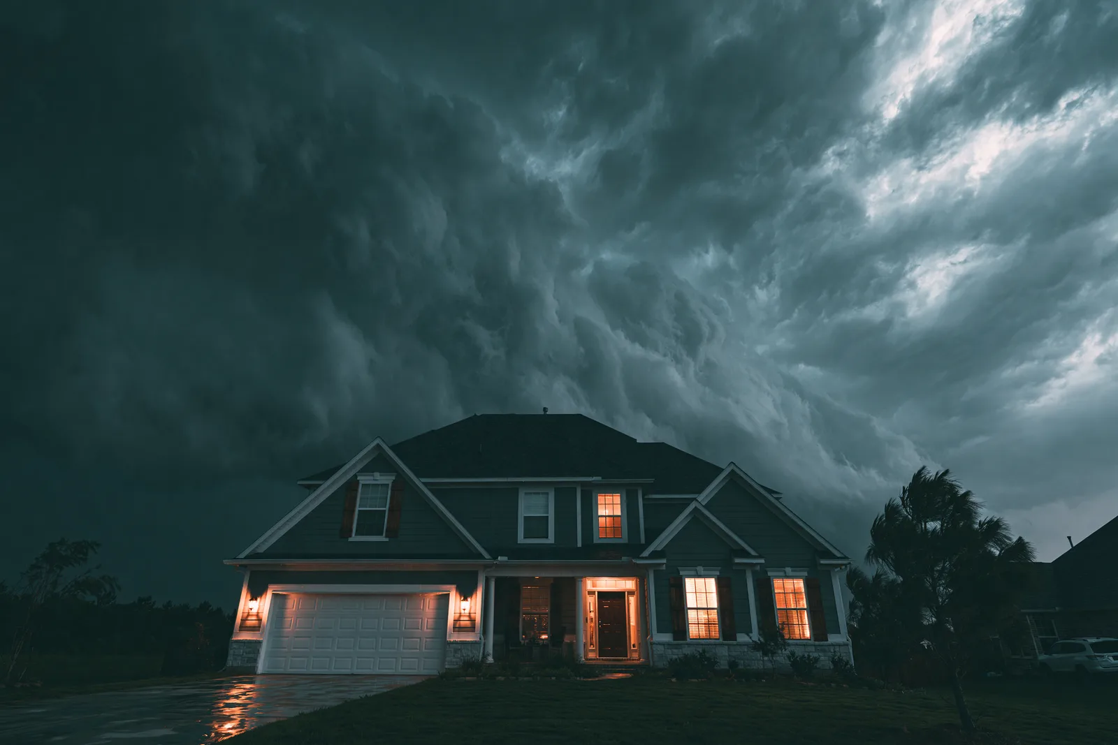
Read selected NOAA reports with their actual dates and locations, then understand what a roof inspection can establish.
The retained NOAA collection spans available 1950–2026 annual detail files for the related counties and forecast zones. The selection below shows three 2022–2023 reports whose reported begin points fall inside the current Harrah boundary. A reported point is not a storm track or a finding of damage at a property.
Three reports from 2022 and 2023 are displayed with their recorded location context.
A reported begin point is not a storm track or evidence of damage to a specific roof.
The selected reports include thunderstorm wind and a tornado report. They preserve the recorded magnitude type and location context. The wider annual source collection is not a complete account of every weather event, and 2026 data remains incomplete.
3 selected reports
| Date | Event | Reported magnitude | Location and context |
|---|---|---|---|
| 2023-09-05 | Thunderstorm Wind | 61 knots (estimated gust) | Power pole snapped, learning on a building near the intersection of Tim Holt Drive and Church Ave. Time is radar estimated. NOAA record source |
| 2022-04-23 | Thunderstorm Wind | 61 knots (estimated gust) | Scattered tree damage was observed southwest of Harrah from just west of Peebly Road on Reno Avenue to northeast of NE 10th Street and Dobbs Road. Although most of the damage showed indications of damaging thunderstorms winds, one area on the northern fringe of the showed signs of a brief tornado from Peebly Road to near the Kickapoo Turnpike (see separate entry for this tornado). NOAA record source |
| 2022-04-23 | Tornado | null null (null) | A weak tornado developed just west of Peebly Road north of Reno Avenue and moved northeast. Tree damage was observed along Peebly Road and just west of the Kickapoo Turnpike. This tornado was within a much broader area of wind damage. NOAA record source |
Source: NOAA/NCEI Storm Events detail files, 2022 and 2023 annual revisions retained October 27, 2026. Wind values shown in knots retain their recorded estimated-gust basis. Current boundary comparison is an orientation method, not a claim about historical city limits.
A record can help place a date. The roof still needs its own assessment.
A report describes an event at the recorded location and time, using its stated source and magnitude. County and forecast-zone records can cover an area much broader than the city.
The inspection examines the material and damage at the property. Known roof history, timing and the pattern of findings help assess the concern. A nearby report does not establish a replacement need or insurance coverage.
No. This page shows selected reports from the retained collection. Reporting coverage and event types change over time, so raw counts do not establish a weather trend.
NOAA’s source field uses knots for these wind magnitudes. The table keeps the unit and estimated-gust basis visible rather than silently relabeling the number.
Tell us the date or circumstances you already remember. The roof concern can be assessed without a matching report appearing in this selection.